Explore Jeju

Find 6,600+ places by area, type and mood.

2,115 places

Jeju Olle Course 7-1 (Seogwipo Bus Terminal - Jeju Olle Traveler Center)Nature

South120 min

Jeju Olle Course 7-1 (Seogwipo Bus Terminal - Jeju Olle Traveler Center)

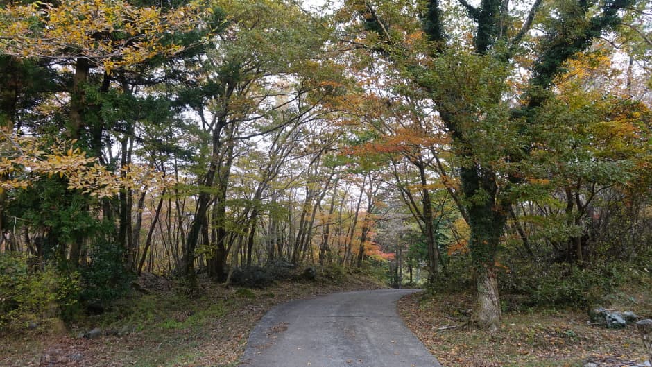
This walking course begins at the Seogwipo Bus Terminal and winds through the mid-mountain areas before arriving at the Jeju Olle Traveler Center. Travelers can enjoy breathtaking views of Hallasan Mountain to the north and the southern coast of Jeju stretching out below. The trail offers a chance to marvel at the hidden scenery of the mid-mountain landscape, surrounded by dramatic rocky cliffs and lush, natural subtropical forests.

Jeju Olle Course 8 (Wolpyeong-Daepyeong)Nature

South120 min

Jeju Olle Course 8 (Wolpyeong-Daepyeong)

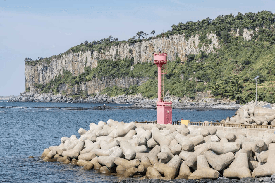
This walking course winds through the stunning columnar joints formed by cooled lava and passes through Yerae Ecological Park, where different flowers bloom with every season. The terminus, Daepyeong-ri, features a vast field known as 'Nandre'—a name derived from 'deureu,' meaning a wide field where the sea stretches out at the edge of Andeok Valley. The scenery of Gunsan Mountain, which embraces the village, is also breathtakingly beautiful.

Hayeong Olle Course 1Nature

South120 min

Hayeong Olle Course 1

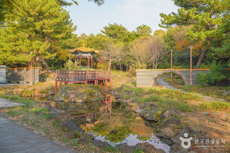
Hayeong Olle Course 1 is an 8.9km walking trail that starts from the Seogwipo City Hall First Office, follows the waters of Cheonjiyeon, and returns to the City Hall. The course consists of Beopjangsa Alley, Geolmae Ecological Park, Cheonjiyeon Falls, Chilsimni Park, Saeyeon Bridge, Saeseom Park, and Cheonjiyeon Gijeong-gil. It connects various parks used as citizens' walking paths with major landmarks, and the route is easy to follow with markings along the way.

Hallasan Dullegil Section 2, Dolo-reum TrailNature

South120 min

Hallasan Dullegil Section 2, Dolo-reum Trail

The Dolo-reum Trail, Section 2 of the Hallasan Dullegil, is an 8km trekking course that begins at Borim Farm Junction and passes through Dolo-reum Junction, Pyogo Cultivation Junction, and Yongbawi, ending at the entrance of Seogwipo Natural Recreation Forest. Starting from the end of Section 1, the Cheona Forest Trail, climbing Geolinsa Deer Oreum and Dolo-reum allows visitors to enjoy the southwestern landscape, where Hallasan, Beopjeong Oreum, Bolle Oreum, Noro Oreum, and Samhyeongje Oreum unfold like a folding screen. The name carries the meaning of a path where gods from mythology dwell and pass through.

Baengnokdam Lake (한라산 백록담)Nature

South120 min

Baengnokdam Lake (한라산 백록담)

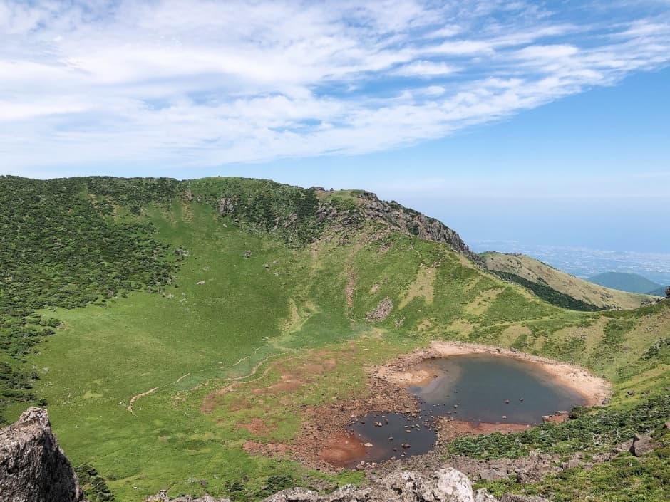
Located at the summit of Hallasan, Baengnokdam Lake is an elliptical crater lake measuring approximately 400m in length from north to south, 600m from east to west, with a circumference of 1,720m and a depth of 108m. It is the highest summit crater lake in South Korea. This site holds great ecological value, featuring the "Nokdam Manseol" landscape, where winter snow remains until summer, and serving as a habitat for rare alpine plants such as Korean fir and stonecrop.