Explore Jeju

Find 6,600+ places by area, type and mood.

880 places

Yeolli Coastal RoadNature

South120 min

Yeolli Coastal Road

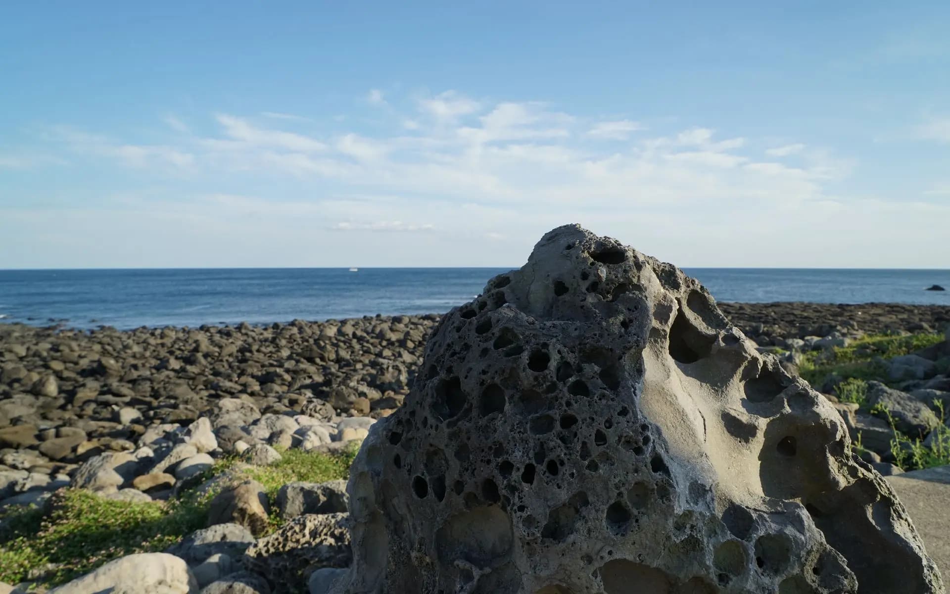
Spanning approximately 4km from Nonjitmul in Haye-dong to Daepyeong-ri in Seogwipo, Yeolli Coastal Road is a stunning stretch of coastline that forms part of the Jeju Olle Trail Route 8. This accessible path offers a gentle walk where you can immerse yourself in a breathtaking landscape of tranquil waters, dramatic columnar joint cliffs, and expansive harbors. It is an ideal route for travelers seeking an easy, barrier-free walking experience while enjoying the natural beauty of Jeju.
Halla Equestrian CenterNature

South120 min

Halla Equestrian Center

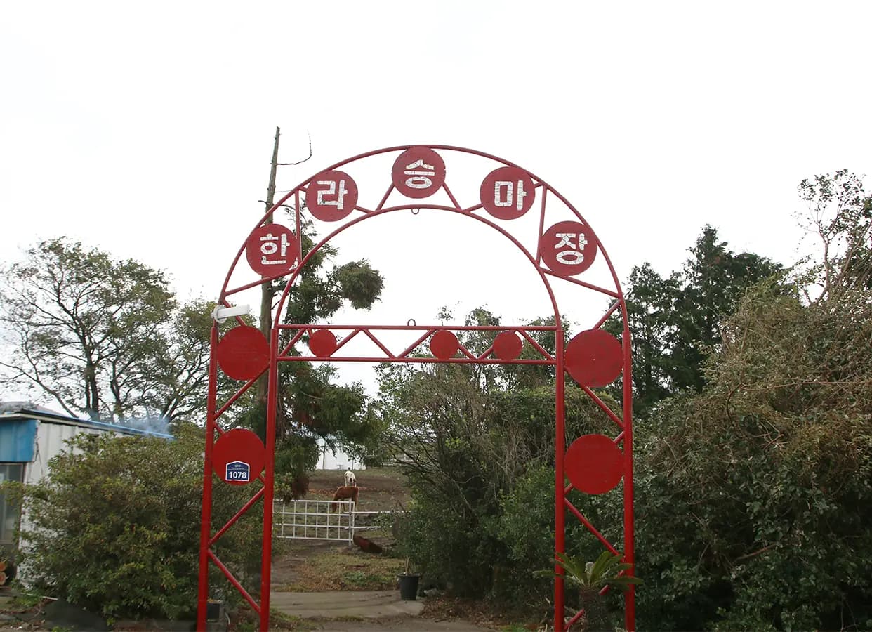
Located in Jeju City, Jeju, Halla Equestrian Center is a massive riding facility spanning approximately 100,000 square meters. The center features expansive, lush green rest areas offering scenic views of Cheonjiyeon Falls, while its vibrant red entrance evokes the whimsical charm of a circus tent. For safety reasons, riding two people on a single horse is strictly prohibited, and please note that the duration of each ride may vary depending on the individual rider's pace.

Starry ObservatoryNature

South120 min

Starry Observatory

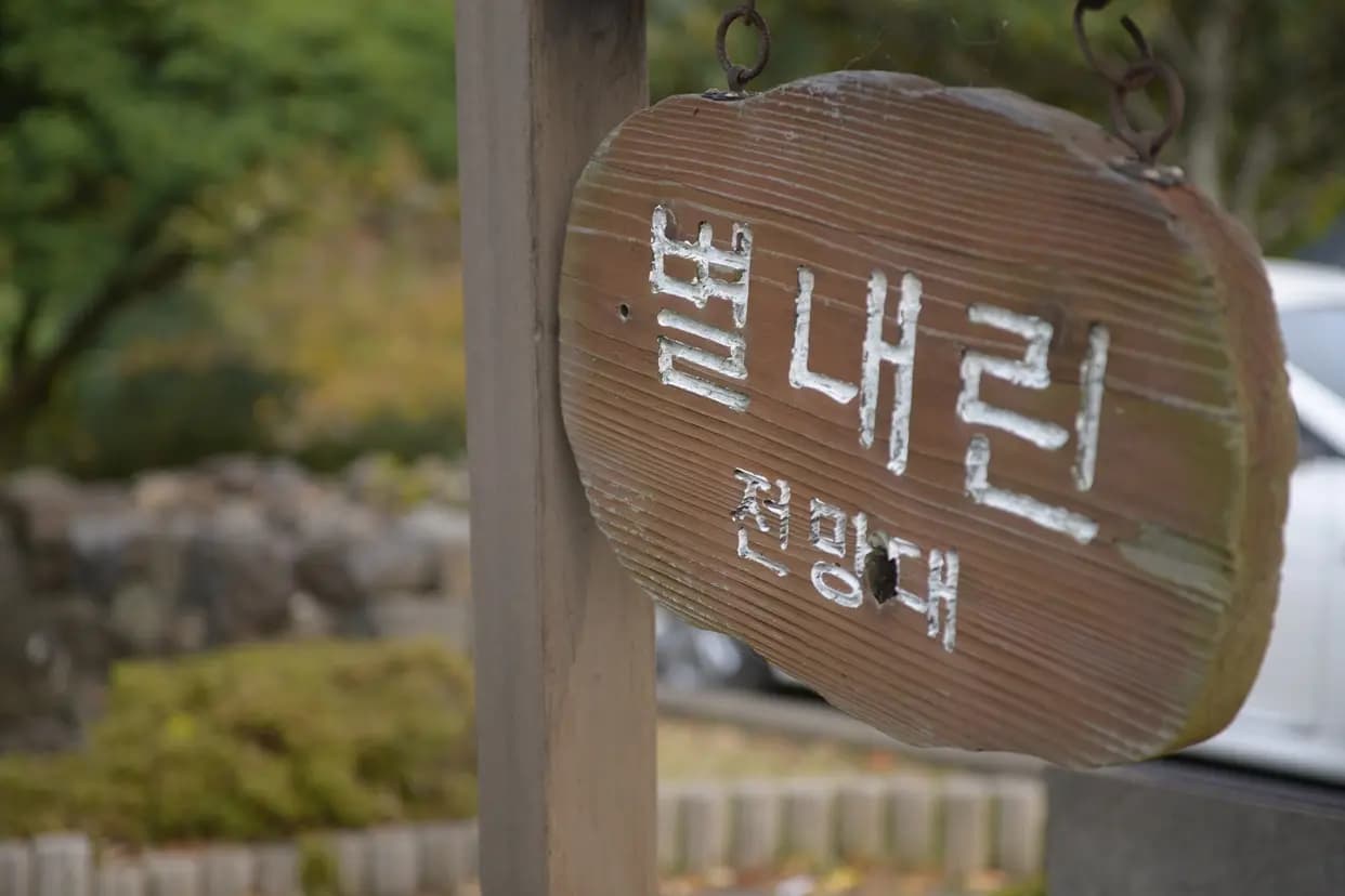
Starry Observatory is the pure Korean name for Seongcheonpo, an old harbor located at the downstream end of Jungmuncheon Stream, which originates from Baengnokdam on Hallasan and flows into the Seogwipo sea. From Starry Observatory, you can enjoy a panoramic view of the Chilseonnyeo Bridge at Cheonjeyeon Falls, the flowing Jungmuncheon Stream, and the harbor where yachts are moored. You can also relax along the walking trails, which are well-equipped with wooden decks and shaded by trees.

Georin Oreum Volcanic Cone (Buk Oreum Volcanic Cone) Nature

South120 min

Georin Oreum Volcanic Cone (Buk Oreum Volcanic Cone)

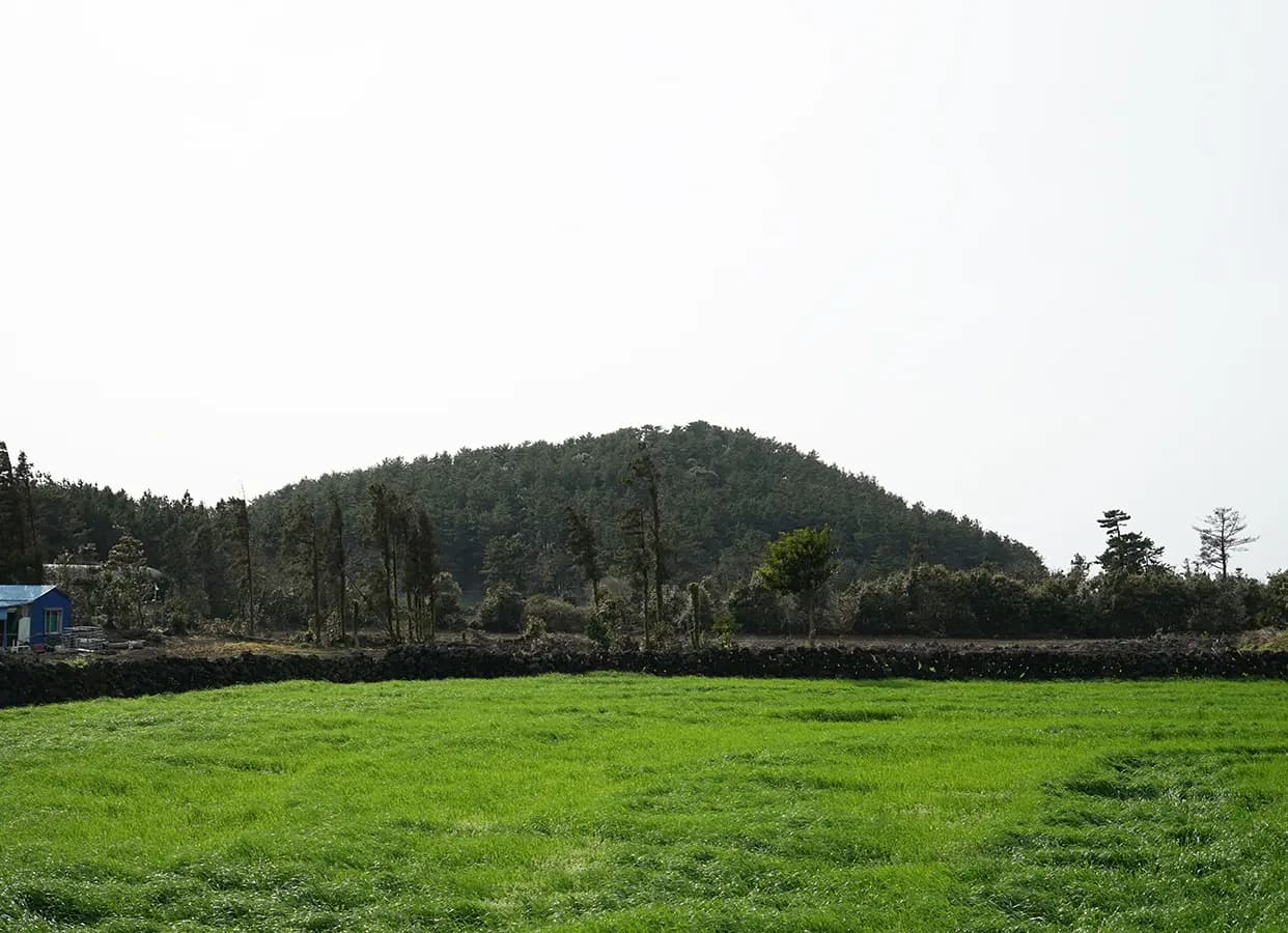
Located along the roadside in Seogwang-ri, southwest of Donggwang Village in Andeok-myeon, Georin Oreum Volcanic Cone (Buk Oreum Volcanic Cone) is a unique volcanic cone characterized by two distinct peaks stretching from north to south. The southern peak, Georin, features grassy fields interspersed with scattered black pine trees, while the northern peak, Buk Oreum, is covered in a lush pine forest. Between these two peaks lies a deep crater that plunges toward the southwest. The name 'Georin' is derived from a Jeju dialect term meaning 'to split' or 'to divide,' referring to the way the summit splits into two paths or remains distinct from Buk Oreum.

43 Incident Memorial MonumentNature

South120 min

43 Incident Memorial Monument

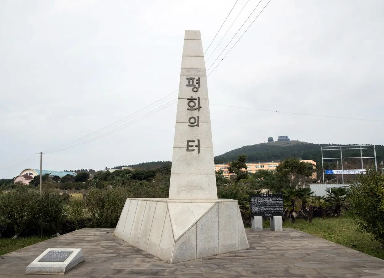
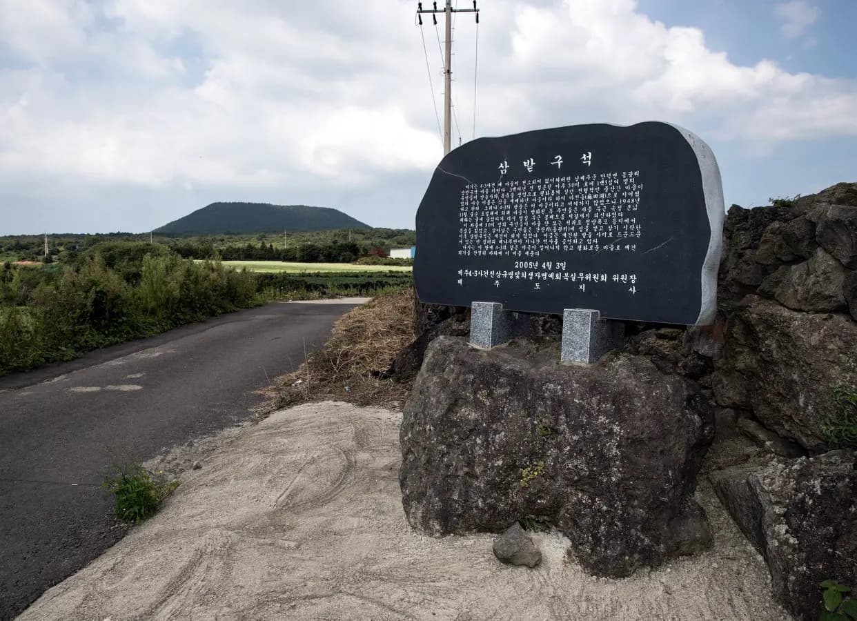
Standing beneath a 500-year-old zelkova tree that once served as the heart of the ancient Sambatguseok village, the Sambatguseok & Donggwang-ri 4.3 Victims Memorial was erected in 1999, prior to the enactment of the Jeju 4.3 Special Act. This memorial was built by local villagers to honor the souls of the Sambatguseok residents who lost their lives during the April 3 Incident. Today, the Sambatguseok & Donggwang-ri 4.3 Victims Memorial stands as a poignant site of remembrance, preserved alongside the bamboo groves that now grow over the remains of the ancient village.

Christian Pilgrimage Route 4 (Road of Reconciliation)Nature

South120 min

Christian Pilgrimage Route 4 (Road of Reconciliation)

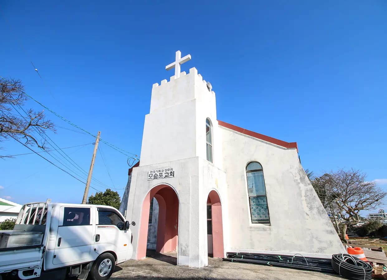
Christian Pilgrimage Route 4 (Road of Reconciliation) is an 11.3km journey that begins at the Martyrdom Site of Pastor Lee Do-jong and traverses through Daejeong Church, the entrance to the Chusa Exile Site, Moseulbong Peak, Gangbyeongdae Church, and Moseulpo Church, before concluding at the Monument to Pastor Jo Nam-su. Along this route, travelers can explore the history of Gangbyeongdae Church, established during the Korean War, and the legacy of rural churches dedicated to their local communities. By following the footsteps of pastors who saved martyrs and residents during the Jeju April 3 Incident, visitors can reflect deeply on the profound meanings of reconciliation and peace.